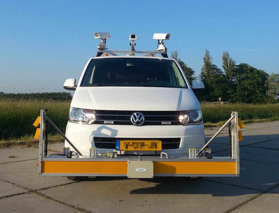
The road surveys were undertaken by civil engineering consultants Cardno as part of a Visual Road Condition Survey in May 2014 using a ROMDAS system incorporating front-mounted twin camera system and GPS recording device.
The features of the inspection system were:
- Use of two high-resolution digital cameras (1920 x 1020 pixels).
- Digital images collected with a 100 to 150 degree field of view (centered on the travel lane).
- Geo-reference data linked to the images was recorded along the entire survey length
Upon completion of the surveys, trained and experienced coding teams from the Malaysian Institute of Road Safety Research (MIROS) recorded road attributes from digital images using the ROMDAS Dataview software supplied by Data Collection Limited (DCL) in accordance with the iRAP Star Ratings and Investment Plans: Coding Manual. The coded data was subject to quality assurance checks in accordance with the iRAP Star Ratings and Investment Plans: Quality Assurance Guide, to ensure the highest standards of quality and consistency during the road coding process and subsequent quality reviews prior to data processing.
To view the report of this project, click here.